Hiking Summit Lake Trail in Washington: Everything You Need to Know in 2024
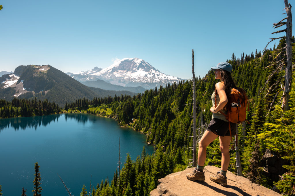
Looking for the perfect summer hike? Sweeping forest views, alpine lakes, and epic mountains? Well, Summit Lake Trail Washington is it.
Bonus Points: It’s beginner-friendly for hikers, backpackers, and pups alike.
I keep reliving it. The sparkling blue waters, in-your-face view of Mt. Rainier and wondrous wildflowers. Talk about paradise.
I’m not exaggerating when I say that hiking Summit Lake in Carbonado may be one of best lake hikes in Washington. And it is certainly one of the most scenic day hikes near Seattle!
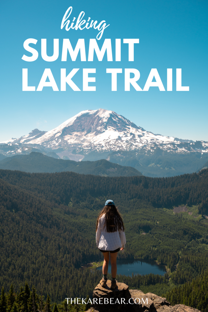
Keep reading for my complete guide to everything you need to know to hike Summit Lake trail in 2022.
How to Prepare for a hike to Summit Lake
- Check if the mountain is out – Viewing the Mt. Rainier live webcam at Sunrise is your best bet.
- Check Carbonado’s weather forecast – This is the closest town.
- Bring your swim gear – Whether you dip your toes or dive right in, there’s nothing as refreshing after reaching the top. I’ve seen people bring inflatable floaties too!
- Pack the appropriate pass – See below for details.
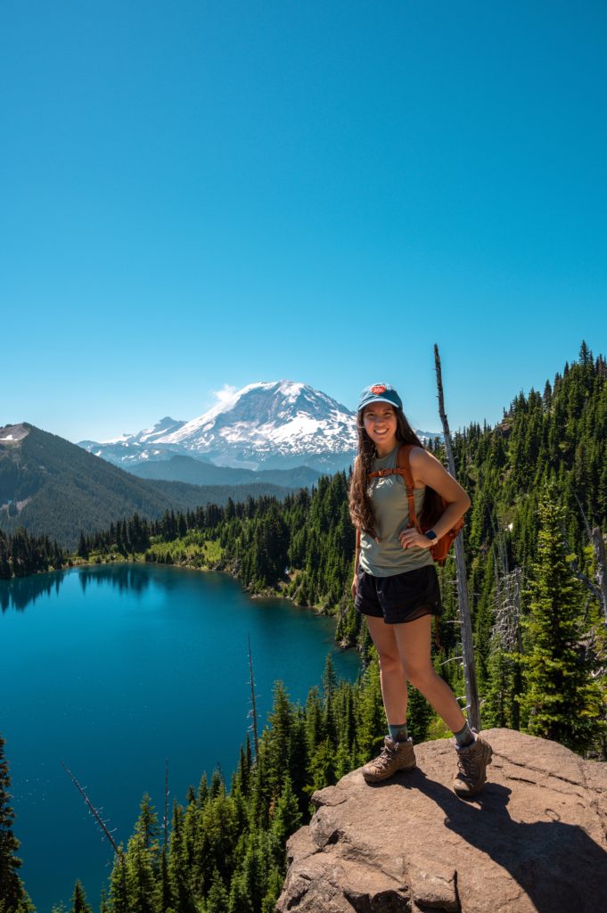
- Wear hiking boots, not shoes – Much of the trail is covered in thick tree roots or sharp rocks, so hiking boots will protect your feet best. My tried & tested trail companions are Keen Targhee boots. You can see my complete review of them here.
- Download, screenshot or print a map of the hike – As of late summer 2021 there is poor signage, particularly at the point in which this splits with Bearhead Mountain. (Keep left to go to Summit Lake).
The Basics of Hiking Summit Lake Trail Washington


- First things first, this is a mountainous hike! Generally, it is snow-free and accessible from July through early September.
- Expect 1500′ Elevation Gain in 7 Miles (3.5 each way)
- Drive time from Seattle/Bellevue: 1 hr 45 mins
- Drive time from Tacoma/Olympia: 1.5 hours
- Drive time from Portland: 3.5 hours
- Road Conditions: High clearance vehicle recommended for the last mile due to a rough road with sharp rocks
- Pass needed: Northwest Forest (America the Beautiful Pass also accepted)
- Area: Clearwater Wilderness, Mt. Baker Snoqualmie National Forest
July Trail Report of Summit Lake
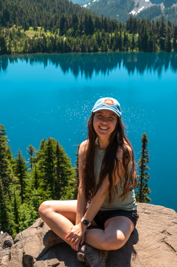
To reach the trailhead, search Summit Lake Trailhead (in Carbonado) into Google Maps. There’s a lake in Olympia with the same name, so be careful!
The drive along 165 will take you through the historic mining towns of Wilkeson and Carbonado, over the scenic one-way Fairfax Bridge, and past the Carbon River Ranger Station.
On your way back, I highly recommend stopping on the bridge for a photo-op.
Pro Tip: Plus, if you’re feeling really adventurous you can scramble down beneath the bridge to get a better look. Here, you will be on the trail that leads to Melmont Ghost Town. This is the site of a short-lived town built on mining. Still, if you use your eagle eyes you can spot things like old cars, building foundations, & appliances. Overall, it’s a relatively flat (albeit muddy) trail totaling 8 mi. Learn more here.
Once you cross the Fairfax Bridge over the Carbon River, the last 7.2 miles are on a dusty gravel road. Know that once you turn left onto NF-7820 the road becomes very rough. Because of this, we only saw SUVs and trucks in the parking lot.
Don’t worry, you can park where NF-7820 splits if you’re not comfortable. This will add a little distance to your hike, but better safe than sorry! (It may even be easier to leave if you do this).
As with many popular trailheads, once the parking lot fills up cars start to park along the road. If you do this, please be courteous and get as far off the road as you safely can so cars can comfortably navigate around you.
After displaying your Northwest Forest pass on your dash, you’re ready to hike. Look for the large sign and then head up. The first mile or so is a climb, and it felt like this is where I gained the most elevation.
After the initial push, the trail flattens out. There were a few slightly muddy areas, but they were pretty dried out given the time of year.
The first lake you’ll come across is Twin Lake, at the junction of Summit Lake trail and Bearhead Mountain trail. Keep left and cross the wobbly footbridge.
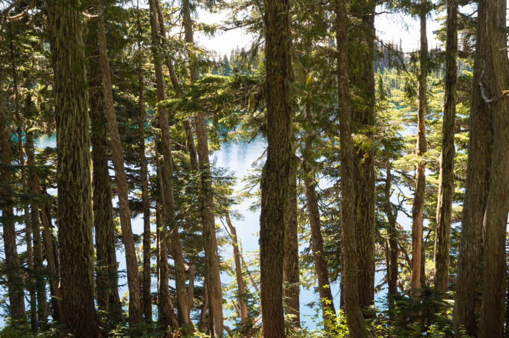
Keep an eye out for wildflowers like avalanche lilies (white and star-like) and beargrass (large and round). Once you see an area where the trail has been rerouted to your left, you are close! This is one of the first places we caught a glimpse of the glorious Mt. Rainier.
Next, you’ll see a peak-a-boo view of a pond and the more distant Summit Lake to your left. You can take the less-traveled path here or stay right on the main trail. Both will take you to Summit Lake.
Keeping right, we reached an open meadow and Summit Lake! Along the lake, you are allowed to camp.
From here, we continued right and climbed up to Summit Lake Peak. You’ll see the ridgeline, look closely for people up there.
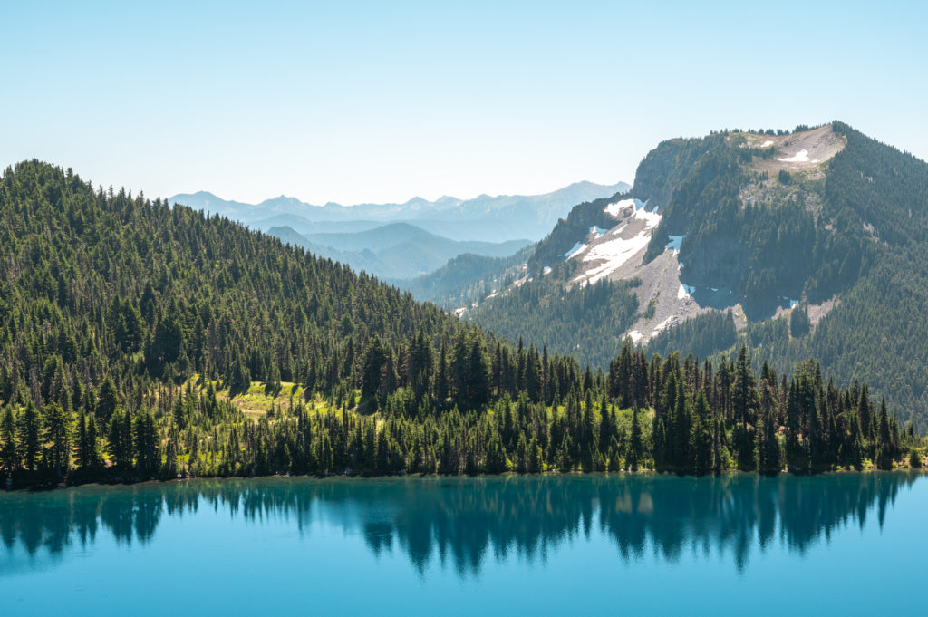
This final push first reveals a sweeping view of glistening Summit Lake. Watch for trout jumping below.
Then, pass some traces of snow and be ready to be totally FLOORED by the view at the top. You’re treated to an up-close view of Mt. Rainier and Coplay Lake. In fact, Rainier was so close that I saw a crater on the mountain that reminded me of Mt. St Helens.
Pro Tip: You’ll be exposed to sun and wind at the top. So, be sure to bring sun protection and hold onto those hats!
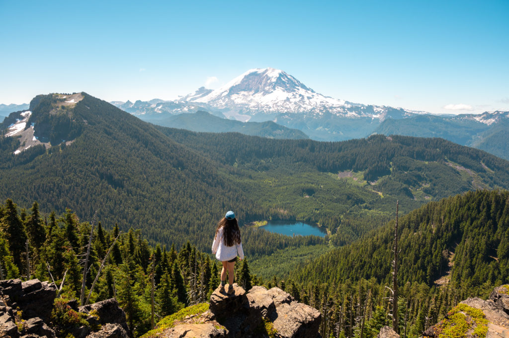
We took our time enjoying this views, they are truly some of the best views in Washington State.
All in all, we comfortably spent about 5 hours here. It’s perfect in the morning before it heats up. I’ve also seen stunning sunset shots from here – if you don’t mind hiking back in the dark.
Want to know anything else about hiking Summit Lake trail Washington? I got you. Go ahead and drop your questions in the comments.
Happy hiking!
This post was all about Summit Lake Trail Washington.

OTHER POSTS YOU MAY LIKE
How to Enjoy an Adventure-Packed Weekend in Bend Oregon
The Insider Washington State Bucket List Every Adventurer Should Have in 2022
